 |
|| Home || Profile || Past Interventions || Area Profile || Strategy || Case Studies || Social Audit || Partners || Contact || |
|||||||||||||||||||||
Land use Pattern |
|||||||||||||||||||||
 |
|||||||||||||||||||||
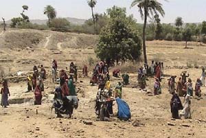
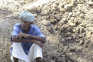
Land use pattern in Sirohi District
|
|||||||||||||||||||||
Physiography || Land use pattern || Social Situation || Economic Situation |
|||||||||||||||||||||
|| Key Issues || Right to Information (RTI) || Right to food || JCS in Media || Future Perspectives || Photo Gallery || Site map || |